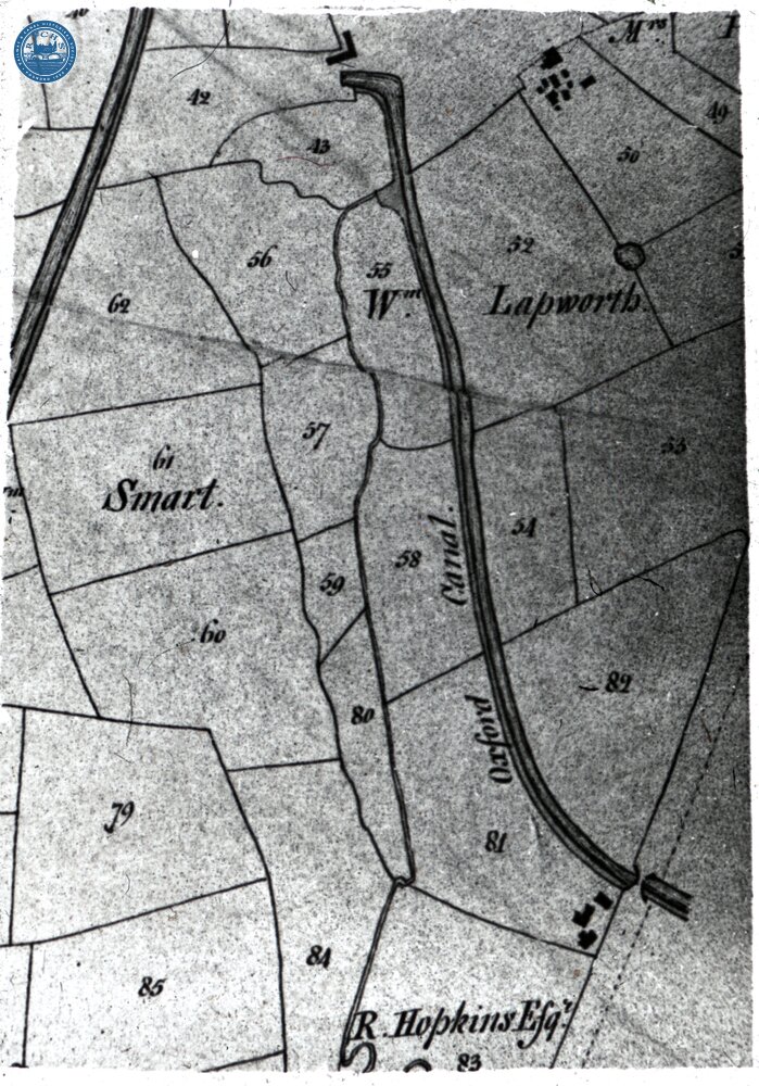
Hawkesbury, Tithe map. Circa 1840

Hawkesbury, Tithe map. Circa 1840

Dennis Hadley recorded the date of the map as 1776, but it is probably shortly after the passing of the Tithe Act 1836. Copy taken 1975. Section to the east of the former power station. Grid Ref: SP 364 843 [OX-001-800]
ROMA ID: 210980E

No Comments

Add a comment:

*Required fields

Please comment on an image only when viewing its image page, as here. Similarly, only comment on an album when viewing its album page. Do not comment on albums using the image comments dialog